Upload date
All time
Last hour
Today
This week
This month
This year
Type
All
Video
Channel
Playlist
Movie
Duration
Short (< 4 minutes)
Medium (4-20 minutes)
Long (> 20 minutes)
Sort by
Relevance
Rating
View count
Features
HD
Subtitles/CC
Creative Commons
3D
Live
4K
360°
VR180
HDR
55 results
Let me save you from the most common GeoPandas headache. You have a CSV file with latitude and longitude but nothing ...
49 views
1 month ago
GeoPandas is one of the most important tools in modern GIS, but many people still aren't sure when to use it, why it matters, ...
1,230 views
2 weeks ago
If your GeoPandas plot is sitting on a plain white background and you want to add a real map behind it, this is the fastest way to do ...
69 views
4 weeks ago
【City Zen:城市禪意導航】 這不只是導航,而是一場都市修復之旅。 我們利用Python Geopandas 結合OpenStreetMap 資料, ...
2 views
1 day ago
I put together a short video where I first give a intuitive explanation of R-trees, and then walk through a simple Python ...
40 views
Welcome to the 8th video in our GeoPandas Series! In this tutorial, we introduce you to Geopandas Link To Github Repo: ...
21 views
3 weeks ago
How do you actually map population density at scale? In this video, I break down the complete GIS workflow for creating a ...
265 views
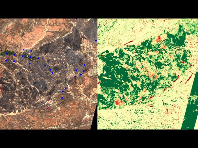
Detecting wildfire damage from space is an important and impactful use case for remote sensing and satellite data. So, when I ...
248 views
11 days ago
If your GeoPandas layers are not falling on each other, your points are showing up in the ocean, or your basemap does not line up ...
27 views
Geopandas vs QGIS vs ArcGIS area values I hope you found a solution that worked for you :) The Content is licensed under ...
This channel features programming-related lectures, experiments, theory testing, and fun activities. This time, we'll be ...
30 views
10 days ago
This video covers the how to install the Geopandas in Google Colab and general introduction to GeoPandas latest version.
38 views
8 days ago
How to Use Geopandas in Jupyter Notebook - Step by Step | Surfshark VPN Deal — Stay private and secure. $1.99/mo + 3 ...
0 views
Learn how to create interactive Airbnb hotspot maps using Python, Folium, and Geo-Visualization techniques — step-by-step and ...
6 views
ArcGIS Pro has been the center of GIS workflows for decades but how does it hold up in a world moving toward open, cloud-native ...
2,862 views
549 views
Assigning new values to polygon based on overlapping area with other polygons I hope you found a solution that worked for you ...
Know more about the documentation resources of the main Python packages for water resources. Geopandas: ...
301 views
Introduction to Data Set Exploration Niyobyose Branchal introduced basic data exploration functions in Python for working with a ...
18 views
In this talk, James Crone will take you on a journey through the world of geospatial data processing using Python — from ...
11 views
Streamed 2 weeks ago


![[Python Programming] Easy Geographic Data with GeoPandas and Folium](/api/proxy/image?url=https%3A%2F%2Fi.ytimg.com%2Fvi%2F0lOMn8VatCg%2Fsddefault.jpg)